Circular hiking trail A 6 - Am Sondert

GPX

PDF

6,24 km long
regional hiking trail
Our hike along the A 6 hiking sign takes about 2 hours. The length of the route is approx. 6 km with only slight differences in altitude.
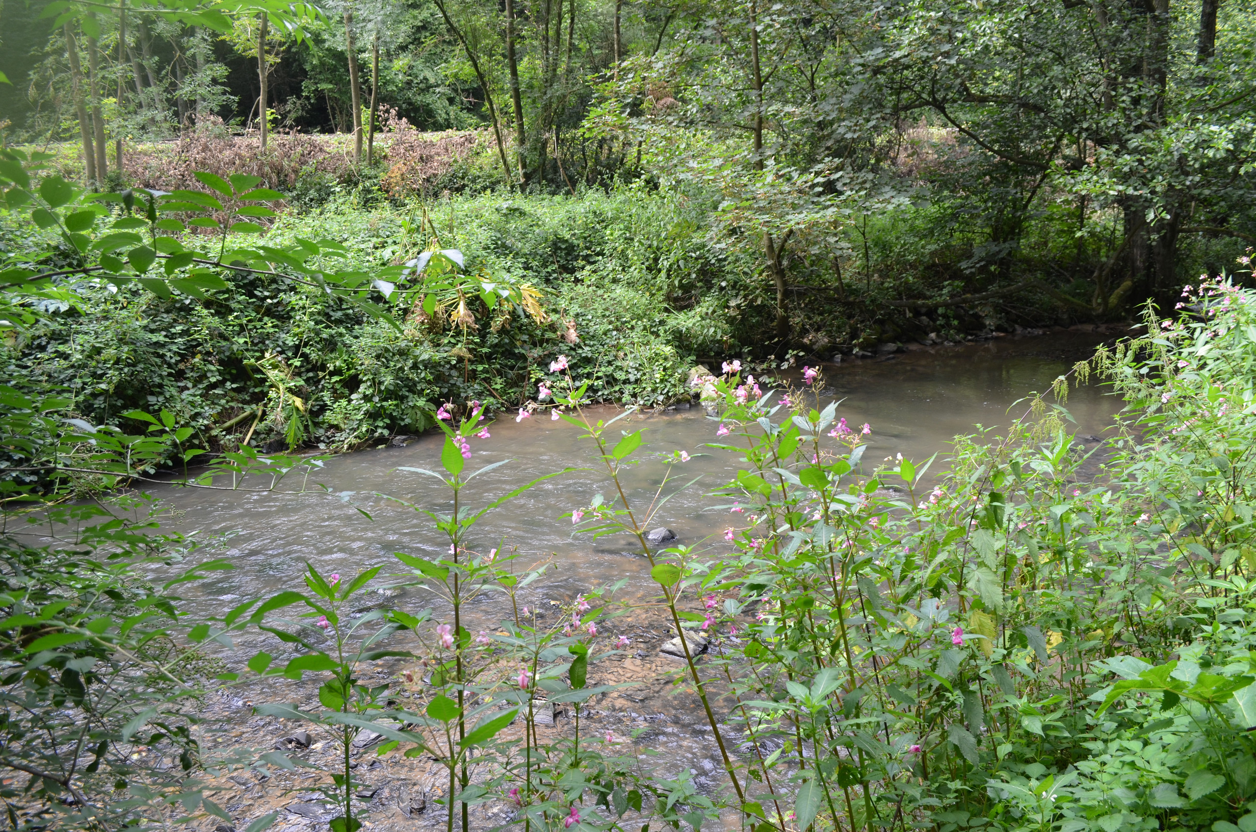
The hike begins at the Am Sondert hiking car park, which is marked as location 2 on the overview map. The path along the A 6 hiking sign leads us through turbulent terrain between Dickelsbach and Steinsiepenbach.

Good to know

Arrival & Parking

Hiking car park "Am Sondert"

Contact person: in

Office for Culture and Tourism Ratingen

author

Office for Culture and Tourism

Düsseldorfer Strasse 26
40822 Mettmann

0049 2104 99-0

info@neanderland.de

Organization

Nearby

tour dates
Start: hiking car park "Am Sondert"
Destination: hiking car park "Am Sondert"

light

01:34 p.m

6,24 km

33m

42m

57m

103m

You seem to be using Microsoft's Internet Explorer Web browserto view our website.

For functionality and security reasons, we strongly recommend using an up-to-date web browser such as Firefox, Chrome, Safari, Opera or Edge to use. Internet Explorer does not display all of the content on our website correctly and does not offer all of its functions.