© Dominik Ketz, Kreis Mettmann_CC-BY-SA

All hiking trails

Across Neanderland

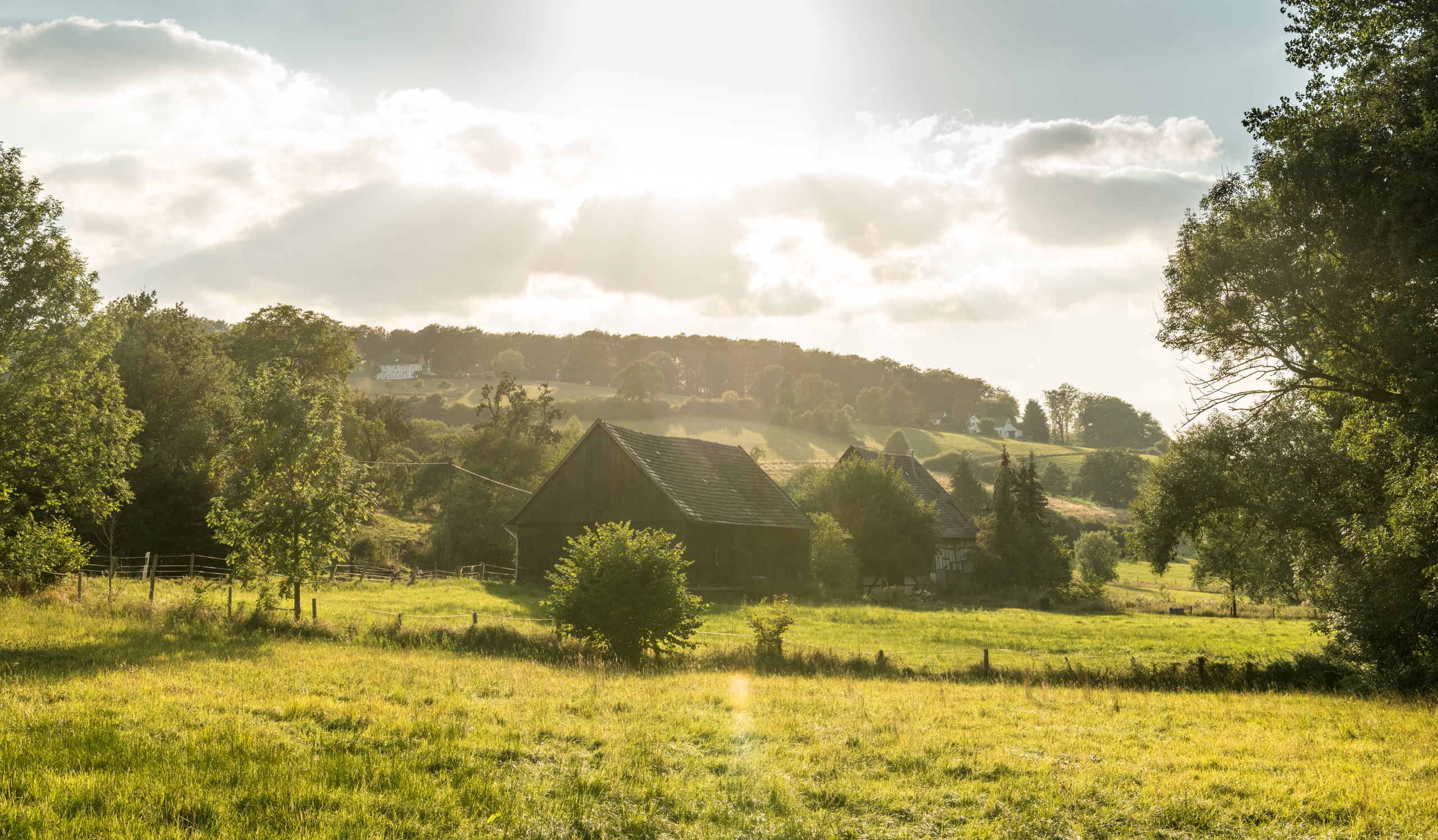
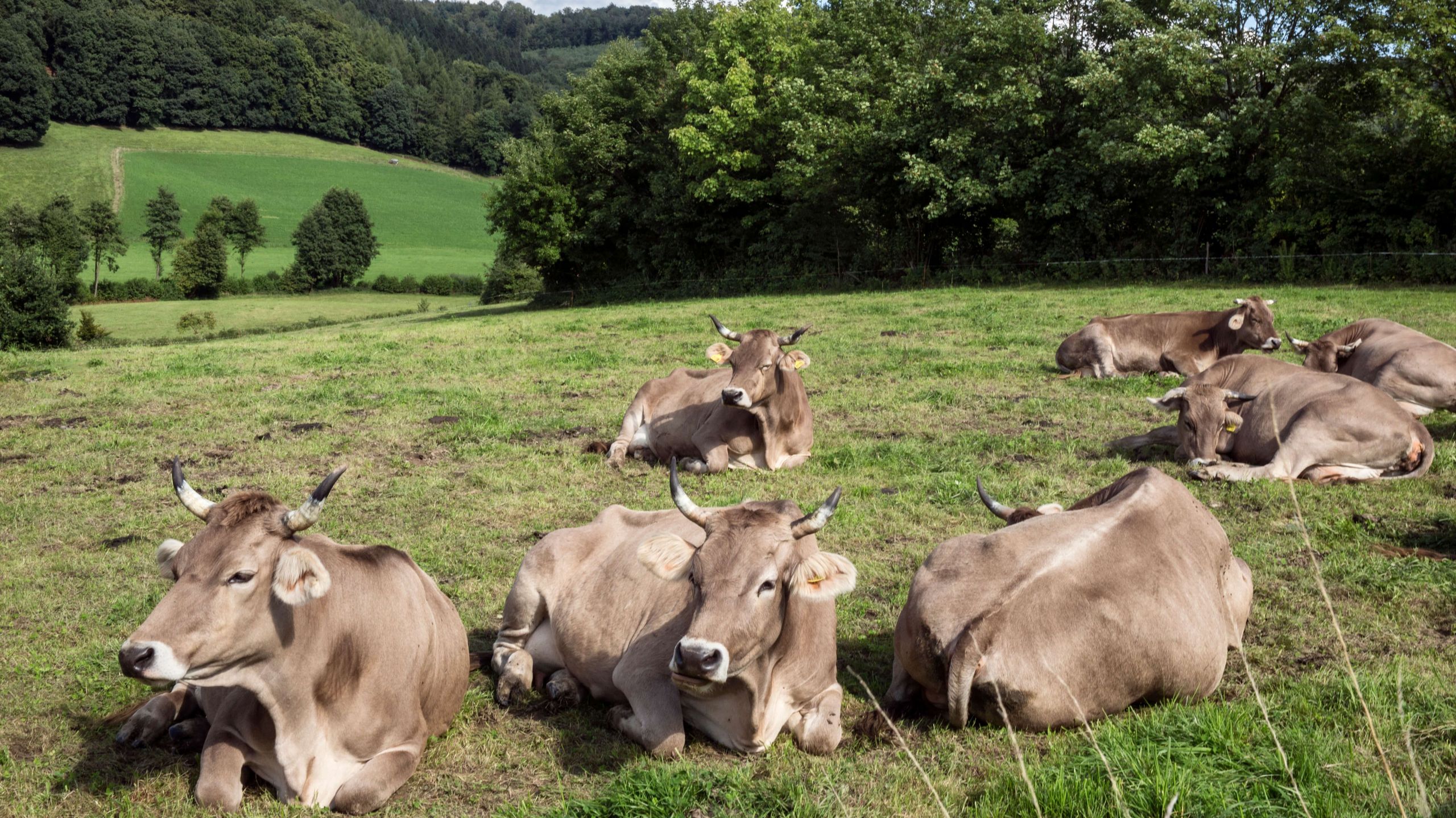
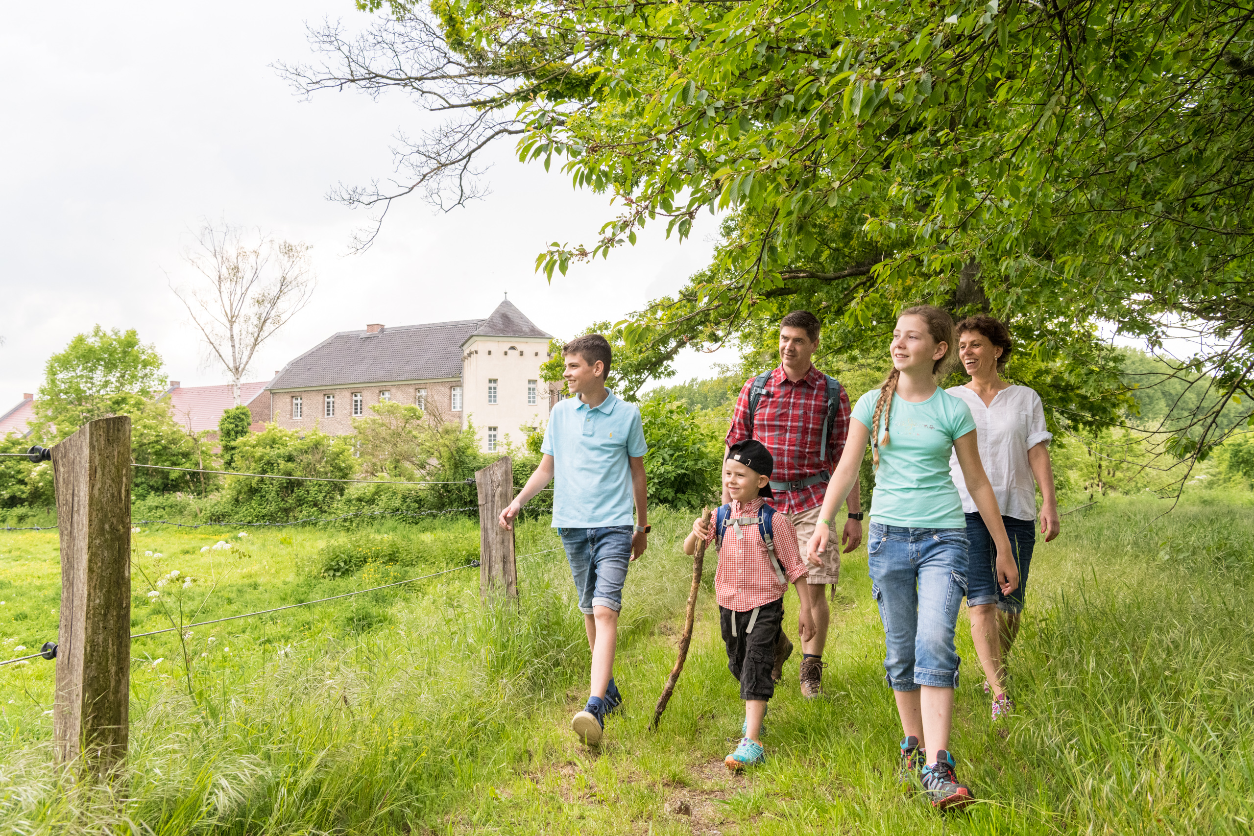
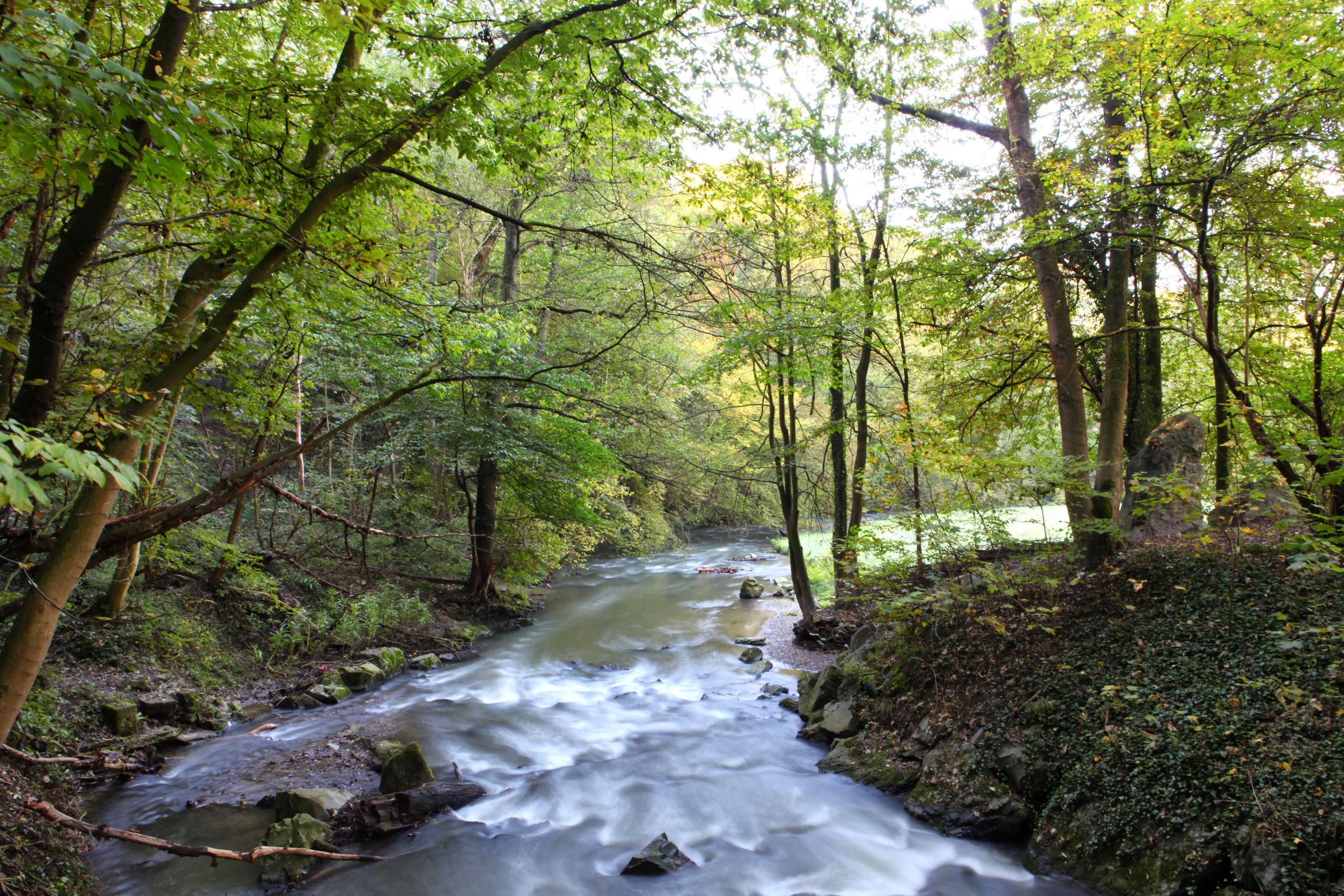
If you like hiking in the great outdoors and going on a voyage of discovery, then you will love neanderland with its wonderfully varied themed routes. In addition to the neanderland STEIG and the cities in its catchment area, it has much more to offer. Numerous circular hiking trails and hiking routes between the Niederbergisches and the Rhine invite you to discover the history, sights and the enchanting beauty of the area. On nature trails or artificial paths, in floodplain, forest or heath landscapes, overgrown quarries or dreamy little towns, you will encounter the edifying, impressive and unexpected at every corner. Immerse yourself in this invigorating diversity and let yourself be inspired. There are enough opportunities on the various stages in neanderland.

© Dominik Ketz, Kreis Mettmann_CC-BY-SA

Ratingen

circular hiking trails

The largest town in the district of Mettmann invites you to go hiking with its forests and meadows. Nature lovers will get their money's worth on ten different circular hiking trails around Ratingen. Whether you want to go on a day hike or prefer a short tour close to the city - there is sure to be a suitable route for your project.

From a natural point of view, Ratingen lies in the transition from the Niederberg hill country to the Lower Rhine plain. The streams of the Schwarzbach, the Anger and the Dickelsbach flow here from Niederberg to their confluence with the Rhine. In the valley landscapes, the closeness to nature has been preserved in large areas, so that the areas have been able to develop into valuable retreat areas for endangered animal and plant species, but also into idyllic local recreation areas. Depending on which part of the natural environment it belongs to, wide areas of arable land and meadows alternate with extensive deciduous and coniferous forests.

Hiking in Velbert

circular routes

Located in the northern foothills of the Bergisches Land Velbert an attractive destination for nature lovers. A variety of circular hiking trails invite you to explore Velbert and the surrounding area. 1700 hectares of forest and 240 kilometers of hiking trails, small streams and river meadows as well as a green hilly landscape make Velbert a suitable destination.

Bergische and Elfringhauser Switzerland

Northeast of Velbert begins the local recreation region of Bergische and Elfringhauser Schweiz, which extends from here into the Bergisches Land. Numerous well-signposted hiking trails make it easy to explore the landscape. The Bismarck Tower on the Velbert Hordtberg offers a magnificent view of the region.

INFO:
Parking options include Hordtstrasse

© Dominik Ketz, Kreis Mettmann_CC-BY-SA

Wuelfrath

Circular route around the Schlupkothen quarry

The Schlupkothen quarry is a 31-hectare nature reserve, around which there is an approximately one-hour long circular route. After the limestone quarry was shut down around 50 years ago, nature reclaimed the fallow land. With its turquoise water surfaces and high, overgrown rock faces, the former quarry offers a habitat for endangered animal species and an impressive backdrop.

On the hiking trail, a nature and industrial history educational trail explains the history of the quarry. The path up to the Steinstieg viewing platform is barrier-free. In order to walk the entire circular route, a few steps have to be overcome at the hairpin bend.

Monheim am Rhine

AuenBlicke: hiking in the Urdenbacher Kämpe

© Dominik Ketz, Kreis Mettmann

During the Urdenbacher Kampe you can experience a piece of the Rhine without a dike. The wide, undeveloped floodplain around the former Roman fort Haus Bürgel is a fascinating habitat for rare animals and plants due to the changing water levels. Seven adventure routes and a nature interpretation path lead through the floodplain landscapes with their traditional meadow orchards and pastures, atmospheric forests and idyllic backwaters of the Rhine. Numerous benches invite you to enjoy the view outside. In addition, certified "AuenErlebnisBegleiter" offer guided tours and adventure hikes, where you can explore nature and learn about the history and ecology of this nature reserve.

The following applies to all routes: Due to the regular flooding, the paths can be muddy, so sturdy shoes are recommended.  

© Kreis Mettmann, Martina Chardin

Hilden Heath

The natural forests and heaths in the east of Hilden are an attractive destination for those looking for relaxation and athletes. You can enjoy nature on signposted hiking trails and jogging routes.

The Hilden Heath developed about 300 years ago when dense deciduous forests were cut down. The shepherds used to let their sheep graze in these areas. Today, heath areas with their animal and plant population have become very rare. During the summer months, the area is regularly grazed by a migratory herd of ewes with their lambs and goats. In addition to birds, reptiles and dragonflies can also be observed regularly.  

INFO:
Parking facilities, e.g. on Elberfelder Straße (near Kesselsweier)
 

Erkrath

The Stinderbach Valley

© Kreis Mettmann, Martina Chardin

The scenic Stinderbachtal is embedded in a wooded area between Erkrath and Mettmann. The valley named after him offers idyllic hiking and walking trails for young and old. Nature lovers as well as little adventurers have a lot to discover along the stream: historic half-timbered houses, idyllic meadow orchards, small fish ponds, grazing Galloways and deer. The Stinderbachtal is also an attractive destination for geocaching fans.

INFO:
Hiking car park including Stindermühle


Langenfeld

Posthorn hiking trail

Since the end of the 1960s, the Posthorn hiking trail has offered hiking and cycling enthusiasts as well as those interested in history the opportunity to follow the traces of bygone days around Langenfeld.

© Walking Eddie
© Patrick Gawandtka, Kreis Mettmann

Guided hiking tours

  • Experienced tour guides

  • Thematic tours with new impulses

  • Hiking in a group

mountain way

© Kreis Mettmann

In the footsteps of a hiking trail that is more than 100 years old, the Bergischer Weg leads from the Ruhr area through the Bergisches Land and Siebengebirge nature parks to Königswinter am Rhein over a distance of around 260 kilometers in 13 stages. It runs from Baldeneysee in Essen through neanderland, through the Bergisch cities of Wuppertal, Remscheid and Solingen and the Rheinisch-Bergisch district to Drachenfels.

A variety of experiences await you along the route. The path has a lot to offer both in terms of landscape and cultural history: idyllic landscapes and historic villages as well as local and industrial history museums, palaces, castles, monuments and churches bring the culture of the region to life again.

© Dominik Ketz, Kreis Mettmann_CC-BY-SA

The first three stages of the Bergischer Weg cross the neanderland. In Velbert you climb the first heights of the Bergisches Land and discover the pilgrimage cathedral in Neviges and the baroque Hardenberg Castle. Parts of this stage run parallel to the neanderland CLIMB.

At the stage destination Wülfrath, the time tunnel and the Niederbergisches Museum invite you to visit. Limestone quarries and gently rolling paths along the Düssel characterize the third stage of the Bergisches Weg, which leaves neanderland in the further course towards Solingen.

Check that out too

hiking app

© Kreis Mettmann

Offers for families

© Dominik Ketz, Kreis Mettmann

discovery loops

© Dominik Ketz, Kreis Mettmann_CC-BY-SA

Bloggers

You seem to be using Microsoft's Internet Explorer Web browserto view our website.

For functionality and security reasons, we strongly recommend using an up-to-date web browser such as Firefox, Chrome, Safari, Opera or Edge to use. Internet Explorer does not display all of the content on our website correctly and does not offer all of its functions.